What is a point cloud?
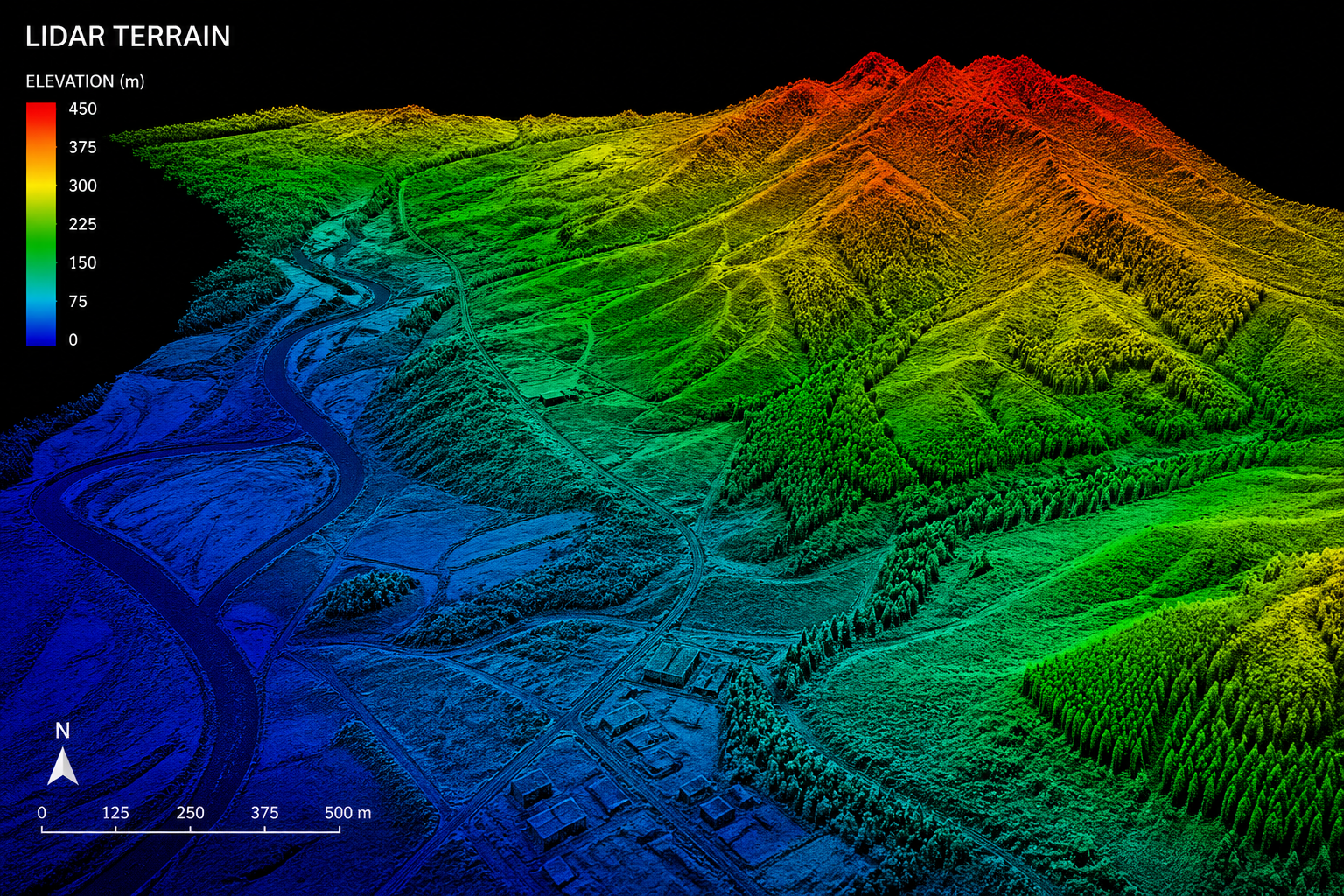
A point cloud is a 3D dataset generated by LiDAR scanning that contains millions of points. Each point has a specific X, Y, and Z coordinate, which together outline the shape and features of a scanned area. These datasets help make detailed terrain models, digital surface models, and 3D visuals. They are useful for engineering, construction, and land management projects.